01
The PNW Cruising & Voyage Planning Masterclass
Boaters planning their first charter or trip into the San Juan / Gulf Islands who are intimidated by the extreme tides, currents, and weather.
Format
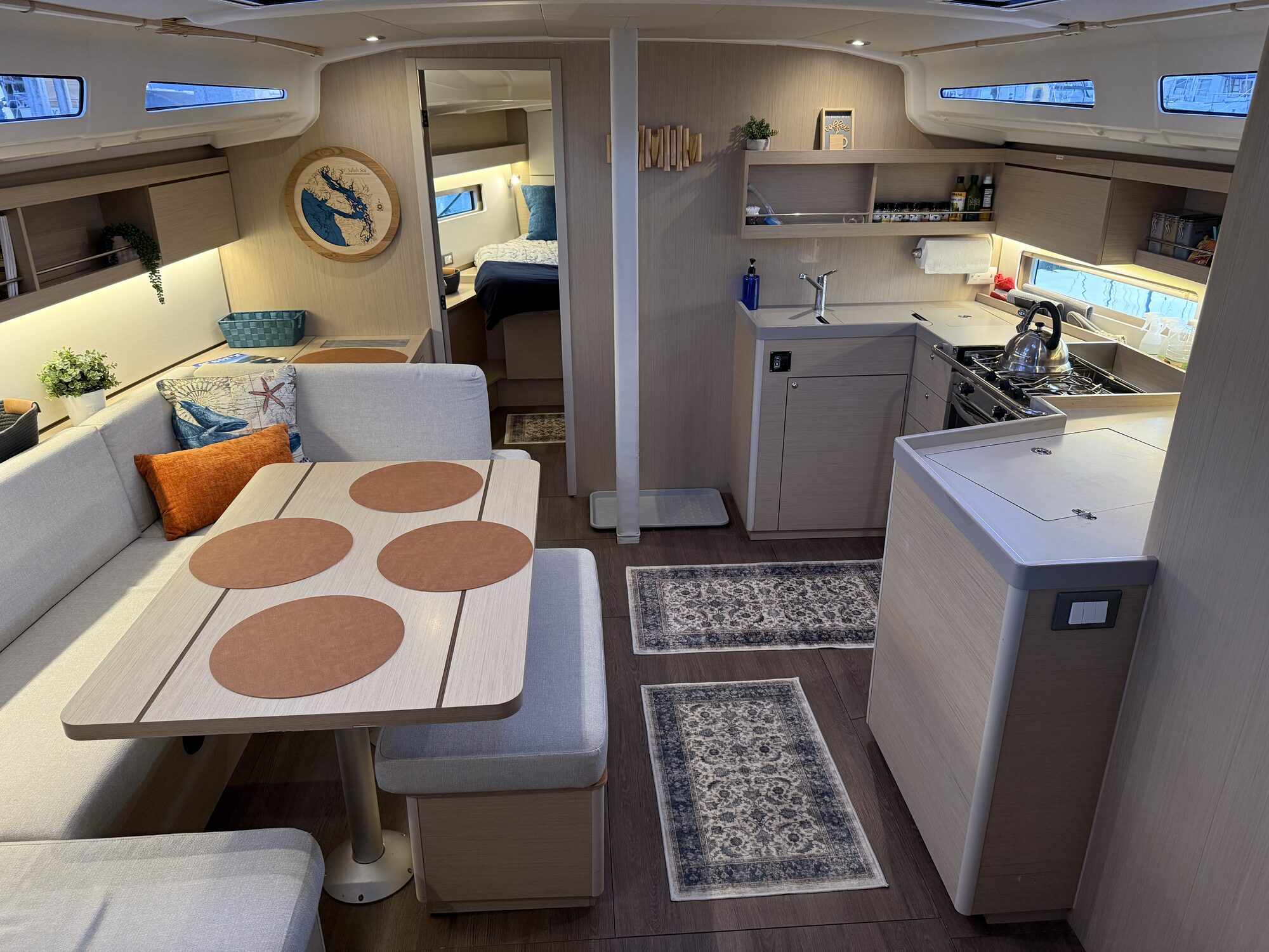
Immersive dockside workshop aboard Starhaven at Squalicum Harbor. Use the vessel's actual salon table, chartplotter, and instruments to simulate real-world voyage planning and VHF monitoring.
Duration
3 hours
Pricing
$175 per person · $250 per couple
- ▸Digital Navigation Deep Dive: Navionics, AquaMap, and OpenCPN for PNW route planning, accounting for tides and currents, and sharing routes with onboard chartplotters.
- ▸Current & Tide Mastery: using DeepZoom to visualize 12-foot tidal swings and plan the best route from the San Juans to Desolation Sound.
- ▸Weather Routing: using PredictWind to forecast cruising weather, choose departure windows, and find the best anchorages.
- ▸Anchoring in the PNW: working with the vessel's actual ground tackle — calculating scope, anchoring deep / rocky / kelp bottoms, and stern-tying in tight inlets like Princess Louisa.